


GPS Location Finder Definition and Spoofer Suggestion
1. Coordinates
GPS coordinates are made up of two parts: a latitude, which gives the north-south position, and a longitude, which gives the east-west position.
This map can be used to convert any address into GPS coordinates. You can also find the location of any GPS coordinates and, if available, geocode their address.
To find out more about your current location coordinates, go to the where am I page.
2. Latitude Definition
A point’s latitude is defined as the angle formed by the equatorial plane and the line connecting it to the center of the Earth.
Its construction ranges from -90 to 90 degrees. Negative values represent locations in the southern hemisphere, and latitude at the equator is worth 0 degrees.
3. Longitude Definition
The notion is the same for longitude, however, unlike for latitude, there isn’t a natural reference point like the equator. The Greenwich Meridian, which passes through the Royal Greenwich Observatory in Greenwich, a suburb of London, has been arbitrarily chosen as the longitude reference point. A point’s longitude is calculated as the angle between the half-plane formed by the earth’s axis and passing through the Greenwich meridian and the point.
4. A Third Element
Readers who pay close attention will have already realized that the altitude of a point is a third factor that must be present. This third parameter is less significant because, in the majority of use cases, locations on the Earth’s surface require GPS coordinates. Establish a comprehensive and precise GPS position, it is just as important as latitude and longitude.
5. What3words
The world was divided into 57 trillion squares by What3words, each measuring 3 meters by 3 meters (10 feet by 10 feet) and having a distinct, randomly generated three-word address. You may convert coordinates to what3words and what3words to coordinates with our coordinates converter.
6. Multiple Geographical Coordinate Geodetic Systems
As previously stated, the above definitions take several parameters into account that must be fixed or identified for future reference:
● the model for the shape of the earth’s surface and the equator plane● a collection of benchmarks
● the location of the Earth’s center
● earth’s axis
● the meridian of reference
The various geodetic systems that have been employed throughout history are founded on these five characteristics.
WGS 84 is currently the most widely used geodetic system (used notably for GPS coordinates).
7. Measurement Units for GPS Coordinates
Decimal and sexagesimal coordinates are the two primary units of measurement.
8. Decimal Coordinates
Decimal numbers, the latitude and longitude have the following features:
● 0° to 90° latitude: Southern Hemisphere● 0° to 180° longitude: East of the Greenwich meridian
● 0° to-180° longitude: West of the Greenwich meridian
9. Sexagesimal Coordinates
Degrees, minutes, and seconds make up the three sexagesimal components. Normally, each of these parts is an integer, but if more accuracy is required, the seconds can be a decimal number.
One angle degree consists of 60 angle minutes, and one angle minute is made up of 60 arc-splitting angle seconds.
Sexagesimal coordinates cannot be negative, in contrast to decimal coordinates. In their instance, the latitude is given a letter N or S to define the hemisphere, and the longitude is given a letter W or E to specify the position east-west of the Greenwich meridian (North or South).
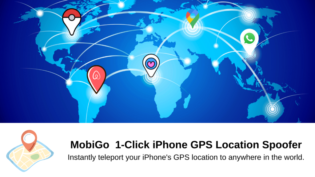
Location Spoofer Suggestion
After learning the definition of GPS Location Finder, maybe you want to hide or fake your GPS location information. Here we recommend you to use AimerLab MobiGo – An Effective 1-Click GPS Location Spoofer. This App can defend your GPS location privacy, and teleport you to the selected location. 100% successfully teleport, and 100% safe.
- How to Fix iPhone File Stuck on Waiting?
- How to Resolve iPhone Speaker Grayed Out?
- How to Fix iPhone Could Not Be Restored Error 9?
- iPhone Bluetooth Keeps Disconnecting? Try These Solutions
- How to Fix iPhone 14 Pro Max Screen Green Flickering?
- How to Resolve iPhone Switched to Incompatible eSIM Stuck in Boot Loop?